Preplanning Articles, Technology
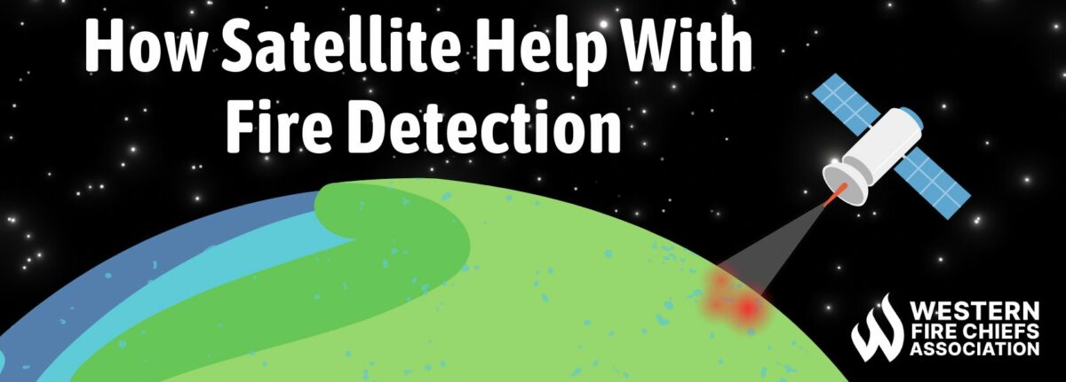
How Satellite Help with Fire Detections
Uncover the important role of satellite technology in wildfire detection. Learn how these orbiting eyes offer early warnings and enhance firefighting efforts.
Uncover the important role of satellite technology in wildfire detection. Learn how these orbiting eyes offer early warnings and enhance firefighting efforts.
Published:June 11, 2024
Edited:June 11, 2024
Uncover the important role of satellite technology in wildfire detection. Learn how these orbiting eyes offer early warnings and enhance firefighting efforts.
In the face of escalating wildfire threats exacerbated by factors like climate change, the role of satellite monitoring in fire detection and firefighting efforts has become increasingly vital. Satellites offer a unique vantage point by enhancing the timeliness and accuracy of fire detection while also supporting proactive firefighting efforts.
Wildfire activity, especially on the west coast, has become increasingly catastrophic in recent years. Five of California’s largest wildfires took place in 2020 alone as a result of climate change.
Reserving or even stopping the damage of climate change to reduce the occurrence of devastating wildfires cannot be done overnight.2 Early detection of wildfires, however, can aid in reducing the damage caused. Satellites play a vital role in identifying and tracking different types of fires. They offer detailed data on aspects such as location, duration, size, temperature, and power output. This technology provides insights that are otherwise unattainable.3
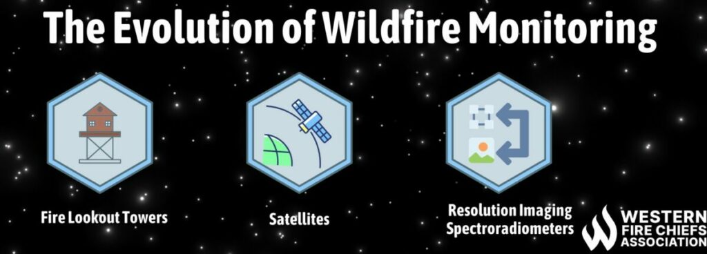
Wildfire monitoring dates back well before the technology we know today took hold. In the 1910’s the U.S. Forest Service began utilizing fire lookout towers on mountain peaks to spot smoke from fires. Lookout towers are still utilized today, but staffed with cameras rather than humans. NOAA’s Geostationary Operational Environmental Satellites (GOES) were launched in the 1980s and opened the door to valuable data for wildfire detection and monitoring.4
The 1990s witnessed a significant leap forward with the inauguration of NASA’s Earth Observing System (EOS) satellites.5 This advance included the Terra satellite, launched in 1999, that revolutionized wildfire monitoring with the integration of the Moderate Resolution Imaging Spectroradiometer (MODIS) instrument. The momentum continued into the 2000s with the deployment of the Aqua satellite in 2002, equipped with its own MODIS instrument, further augmenting our capacity to monitor wildfires from space with unprecedented precision and timeliness.3
In the modern-day, wildfire monitoring has evolved into a multifaceted endeavor, integrating satellite observations with ground-based data, aerial surveillance, and sophisticated modeling techniques. This approach enables real-time assessment of fire activity, facilitates early detection of potential threats, and supports proactive firefighting efforts.
Satellite monitoring of fires uses special sensors on satellites to quickly spot and understand wildfires. These sensors, such as MODIS, take pictures of Earth and look for signs of heat and smoke from fires. Smart computer programs then analyze these pictures to figure out where the fires are, how big they are, and how it is behaving. Once the satellite pictures are taken, it is automatically sent down to stations. This alerts dispatch centers on the details of the fire. The technology also combines satellite data with weather forecasts for full situational awareness.6
Satellites play a crucial role in wildfire monitoring, yet some limitations can occur. Cloud cover can obstruct clear views of the Earth’s surface, especially in areas prone to persistent fog, resulting in skewed wildfire detection. Similarly to this, dense vegetation and complex terrain can further obscure fires from satellite sensors, while shadows cast by mountains or valleys can affect detection accuracy. In other cases, some satellite sensors are unable to read fine smoke may lack the resolution needed to detect small or smoldering fires accurately, leading to underestimations of fire size or missed detections. Delays between satellite observations and limited coverage during critical times, such as nighttime, can impact response times and the ability to monitor rapidly spreading fires effectively.7
Uncover the important role of satellite technology in wildfire detection. Learn how these orbiting eyes offer early warnings and enhance firefighting efforts.
Explore essential fireground safety protocols for firefighters. Learn key strategies to mitigate risks and ensure effective emergency response with guidance from the WFCA.

Master fire incident management with our comprehensive checklist. Ensure swift response, coordination, and safety measures during emergencies with our preplanning resources